")
")
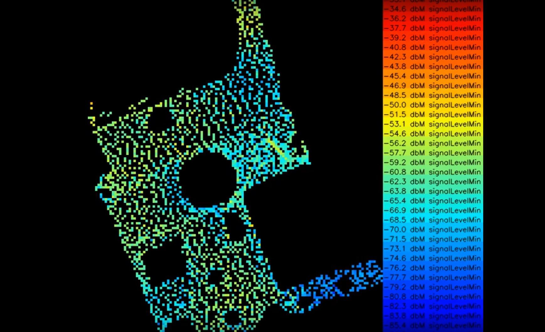
To make the best use of resources and thus save money at the end of the day, you need to know what the current state of your infrastructure is. The owl Robotics Sensor Value Mapping helps to measure values on an area and to display them with centimeter accuracy in a map of the area, as a heat map.
With this precise representation, for example, a farmer can optimize the use of fertilizer in the field, a company can ensure the coverage of his wireless network on the company premises, a fruit grower can optimize the use of his irrigation system to save water and many other applications.
The navigation hardware and software can be installed in an autonomous robot that permanently scans the surfaces and determines the values, or on any other vehicle that can be used to take measurements, such as a forklift that measures the permanent WiFi quality in a warehouse or the quality of the air.